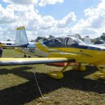
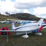
The Old Station is just a farm airstrip about 45 kilometers west of Gladstone in Queensland, but it is run by aviation enthusiasts, and each year they host a fly-in and air show. This year the air show was to feature Paul Bennett, Matt Hall and even the RAAF Roulettes formation aerobatics team, so a pretty big deal. I had a further reason for doing a pretty long flight. My mother’s 93rd birthday was during the week following the fly-in, and she lives with my sister in Rockhampton, only 40 NM further north, so I had two good reasons to do the trip. I was intending to leave early Friday and fly as far as time allowed, stop overnight and then fly the last 90 minutes or so on the Saturday morning. As it turned out, Friday dawned in rain and low cloud. I checked the Kyneton web cam and it looked pretty similar at the airfield, although the Narromine web cam showed a clear sky. It would probably lift at Kyneton but there was no reason to hurry so I didn’t arrive at the airfield until around 10 and finally departed after 11 into a cloudy sky with a few blue gaps and a light headwind. Click on any of the following images for a larger view.
Kyneton to Narrandera
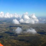
The cloud base was less than 1500 ft AGL so I took an early punt on the cloud being scattered and climbed through a gap to 7500 ft. My gamble paid off as the cloud gradually became more scattered and disappeared completely by the 50NM mark. 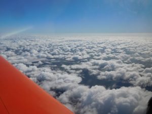
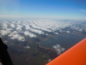
At the higher altitude the Sonex was able to maintain 130 knots so it was just a matter of holding my course and altitude and letting the distance roll by. I crossed the Murray River into New South Wales at Tocumwal which is the home of a large airfield, now used only by light aircraft and gliders but which I have been told was once the largest airfield in the southern hemisphere. That was during the Second World War of course, when it was a major training base. Aub Coote, who did the first flight in my Sonex was training there as a navigator/bomb-aimer on B24s when the war ended. At about the same time my own father was training as a pilot on B24s, but they never met. They were probably on different courses but in any case there were 6000 people stationed there at the time. At Narrandera I did a sprint for the toilets but found I was going to have to read ERSA to get the gate code, and matters being more urgent I found a convenient spot to pee behind the fuel shed. As if to get even the pump decided it couldn’t read my debit card, refused to read either of my fuel cards and finally relented when I tried the debit card for the fifth time.
Distance: 182 NM Time: 1.65 hours Fuel used: 29.25 litres
Narrandera to Narromine
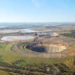
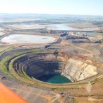
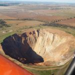
I have lost count of the number of times I have done this part of the trip. The main geographical feature on this leg is Lake Cowal, the largest natural lake in New South Wales. It’s ephemeral, a little over 20km long but only 2.5 metres deep. It also feature a huge open-cut gold mine which is largely dug into the lake bed. The pit is more than 1 km across.
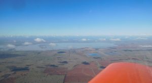
My arrival at Narromine is always accompanied by a bit of anxiety as I try to sort out the correct runway. I think it’s because neither of them run north/south or east/west.
Distance: 172 NM Time: 1.45 hours Fuel used: 28.77 litres
Narromine to Moree
I did this part of the journey in the opposite direction last year and noticed later that I had passed near the village of Gulargumbone and fellow Sonex flyer Phil Bird virtually challenged me to write a suitable Limerick. I looked up Wikipedia and found that the odd name is derived from the local Wiradjuri people’s word for “Watering place of many birds”. It sounds like a pretty self-sufficient little community, but of course that won’t stop me from picking on them.
A guy from Gulargumbone
Was agoraphobic so never left home
In fact the water closet
To leave a deposit
Was as far as he ever did roam
OK, enough of the highbrow, on with the trip. The main geographical feature of this leg is the Warrumbungle Range, home of the Siding Springs observatory, the white dot in the middle of the following photograph.
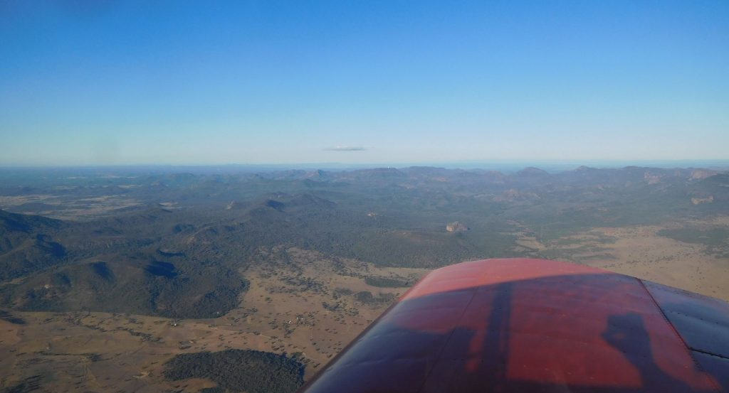
It’s a beautiful rugged little mountain range but not a good place to drive a car at dawn or dusk due to the large number of kangaroos; not good for the kangaroos either. The main town is Coonabarabran, which I think I have a special liking for because I found a really good cafe for breakfast and lunch. The town also has another interesting and unusual feature; reverse-in angle parking. There is some method in their madness. Is it better to reverse into a park when you can see the traffic or reverse out into traffic that you can’t see?
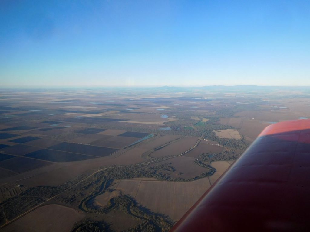
Distance: 183 NM Time: 1.55 hours Fuel used: 30.8 litres
By the time I had refueled it was only 35 minutes to sunset so I tied down and looked up accommodation in town, opting for the “Baths Motel” which gets its name from the large number of hot springs in the area. My taxi driver recommended the take away food place next door as having the best hamburgers in town. I can’t say he looked like a discerning diner, but they were extremely busy which looked promising, so I tried the crumbed fish and chips but went to bed craving fresh food, or anything that didn’t consist of fat, starch and salt.
Moree to Chinchilla
Things didn’t improve in the morning. There didn’t appear to be anything except McDonalds open for an early breakfast so I opted for flying food, water and an early start, arriving at the airport by 7:15. There was a strong and cold NE wind blowing which didn’t look good for a fast trip. I took off from 05 with poor visibility caused by glare from the rising sun and did a long climb at around 100 knots to 7500. Even when I leveled out the GPS speed didn’t get much above 115 knots but over the course of the next hour it gradually climbed to 130knots. Goondiwindi marked the start of Queensland and a while later I passed Moonie. When we used to drive to Queensland to visit my family, Moonie was the only “town” on a 240 km stretch between the towns of Goondiwindi and Dalby. It consists of nothing more than a roadhouse and a few scattered houses at the intersection of two highways but it does have a substantial 60 km/h speed zone. I have heard of a driver being booked twice for speeding through Moonie; the first time for not slowing enough and the second for being so pissed off about being booked that he accelerated a bit too briskly and got nabbed again.
I have never been to Chinchilla before but much of the town appeared to be new, presumably housing to service mining in the region. Miles, about 45 km west tripled its population as well as gaining a large airport for the fly-in/fly-out workers. Chinchilla is not a security controlled airport but it did have some of the trappings of an airport including a comfortable waiting room, but the newish fuel facility is owned by the aero club. I used the grass 03 runway, which seemed in pretty good condition.
Distance: 168 NM Time: 1.65 hours Fuel used: 32 litres
Chinchilla to Old Station
I had originally been intending to stop at Kingaroy but had changed to the Chinchilla stop because it saved a bit of distance and time, but as I headed north I realized why I had not considered that stop before; there was a large belt of forest to cross, 24 NM, so I wasn’t going to be able to glide clear if the noise stopped. It wasn’t too bad though. There were a few roads including a large sealed main road so I would probably be able to find somewhere to land that wouldn’t tear the wings off. At 6500 feet and 130 knots by the GPS the distance rolled by pretty quickly. About 40 NM out from Old Station I switched over to 126.7 to listen in to the arriving traffic and it sounded pretty busy. Although the Old Station is under the 4500 ft level of Rockhampton’s controlled airspace I was hoping to cross the first part of the range at 6500, but there was a layer of cloud only a little higher than the highest parts of the range so I eventually ended up wandering well off course as I avoided the higher hills and put my trust in the GPS to find the unfamiliar airfield. It showed up easily as a mass of parked aircraft and vehicles and as I made a cross wind join for runway 06 I finally managed to pick which was the runway and which was the taxy-way. Stressed a bit by the surrounding hills I did a circuit somewhat tighter than necessary and a very ho-hum landing. “Do you call that one landing or three?” was the comment from someone who never does a bad one.
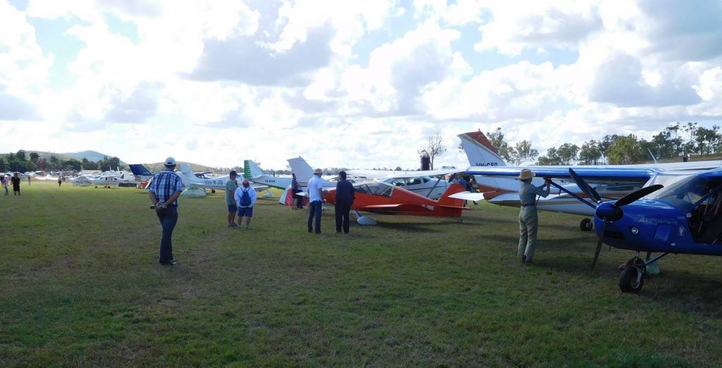
Distance: 177 NM Time: 1.55 hours Fuel used: 30 litres
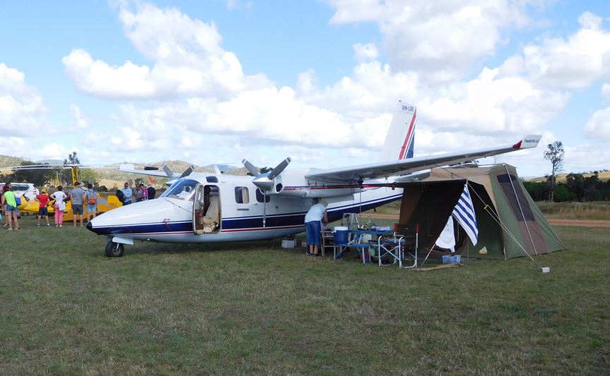
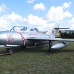
The Mig did not fly in but lives at Old Station although they did do an engine run. The fly-in was really well organized, from the marshals who directed traffic to the ladies who greeted me when I parked my Sonex. We had a grand total of two Sonexes and three Sonex flyers. Dave Griffiths had flown from Gladstone in his 3300 powered tri-gear and Peter, who is working on his Nav. endorsement drove from Toowoomba.
There was plenty to see including a range of classic cars and motorbikes. One of the bikes, a horizontal single 350 Aermacchi which I think was sold in the US as a Harley Davidson, was the only one I have ever seen in Aus. My favourite of all the machinery was an enormous beautifully restored steam traction engine ticking over on idle at about 60 RPM. There were also lots of fancy trucks, hmmm, I find the innards of trucks interesting but not the shiny outside, and a vintage tractor pull; a drag race that gets slower until it stops; well, whatever lights your candle I suppose.
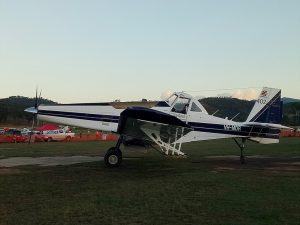
The air show started at 3PM with Paul Bennett’s Wolf Pitts doing a spiraling descent around a similarly descending parachutist. As well as all the usual aerobatics, Paul’s party trick is to do a take off and immediately flip the Pitts onto its side and do a knife edge along the runway. He’s the second pilot I have seen do that so it must be easy. Must try it in the Sonex some time. When Matt Hall’s time came he made good use of the local terrain, with the Extra 300 often disappearing into a shallow valley and popping up a short time later. The RAAF Roulettes were the finale, the six aircraft flying a nice precision aerobatic display.
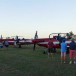 During the Roulettes display, the air force commentator said something odd. The team are all instructors based at East Sale in Victoria so they had to leave Thursday to reach the Rockhampton area to fly this display on Saturday. Now PC9s are pretty nifty aircraft, with similar performance to WW2 fighters but without their vices. They have a cruise speed pretty close to 300 knots so if I could cover a similar distance in less than 8 hours flying time, they should only have needed about 3.5 hours. Maybe they have a good union.
Old Station to Hedlow
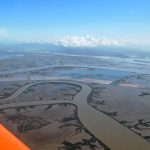
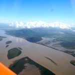
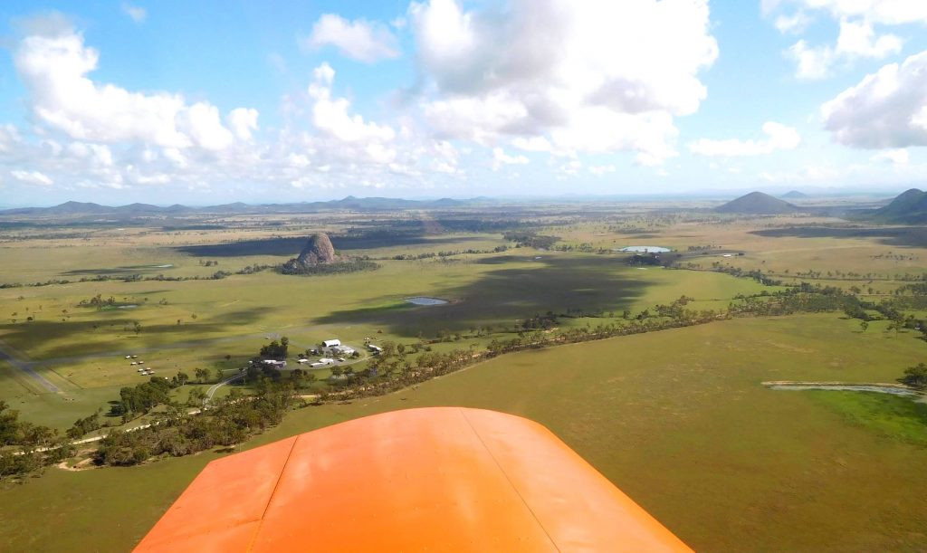
This was the next part of my trip, to visit my mother and sister in Rocky. Sunday morning dawned frosty and foggy but it was obviously going to burn off pretty soon and by the time the sun started making its way through the clouds it was already warming up. I packed the rest of my gear and draped the tent over the wing in an attempt to dry it while I did the daily and had a last wander around and chat before joining the line for the fuel pump. After refueling I taxied clear of all the parked aircraft and shut down to plot my course to Hedlow. If you read my blog about doing this part of the trip last year you might recall that I said navigation was easy, and it is. I wasn’t going to get lost but I did need to avoid controlled airspace. The problem was that my ipad had not shut down properly when I closed the lid and the battery was flat. I might have to (gasp) use a paper map, but it finally got enough charge to wake up (phew) and I was ready to go. I did the run up on the spot and had just finished when the joystick gave a funny wiggle. It was Matt Hall at my aileron wanting me to point the aircraft in a different direction. Serves him right for parking his puny Extra behind the might (or is that mite) and power of my Jabiru. The flight to Hedlow was just beautiful, see photos, and unlike last year the landing was equally beautiful. Also unlike last year, nobody saw this one. 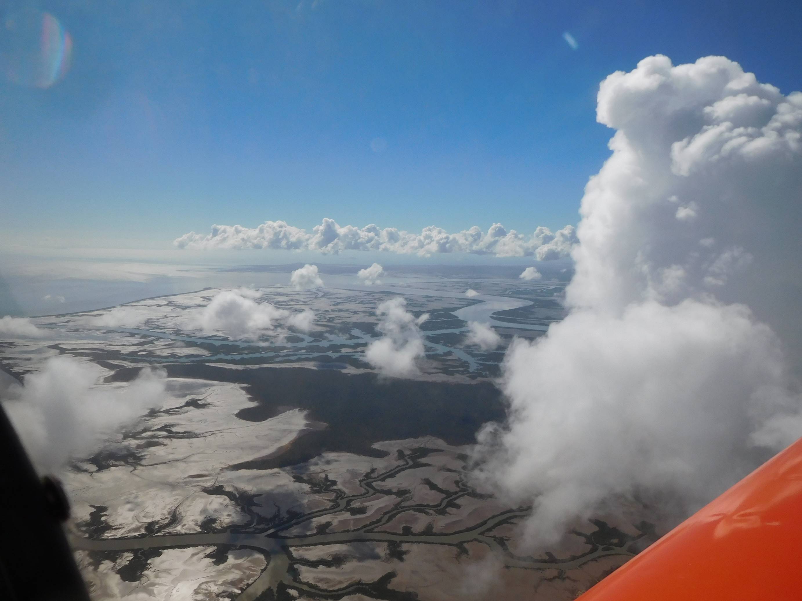
I know, not more pictures of the Fitzroy River estuary, but it is such an awesome place to fly. Knowing that landing places are limited really gets your attention.
Distance: 43 NM Time: 0.62 hours Fuel used: 8 litres
My stay in Rockhampton was relaxing and enjoyable with a couple of meals spent with the Rocky branch of the family, the second of them being the occasion of my mother’s 93rd birthday. We also visited the interesting and quite beautiful caves just to the north of Rockhampton and on Monday we went to “Morning Melodies” at the Pilbeam Theatre. These are shows staged by travelling theatrical groups and put on at a time that probably appeals to older people. Now I am rushing headlong towards 70 myself, but in this audience I felt positively juvenile. I was pretty confident that in the event of an evacuation I wasn’t going to get caught in the rush. By contrast I used to go to pub gigs that my daughter and her partner played in their band, “Actor/Model”, and was always easily the oldest person in the room. The show itself was “A Fine Romance – a Tribute to Fred Astaire”, which featured a handsome young singer/dancer doing the Fred parts, a beautiful young woman with a great voice as his song and dance partner and an impossibly young pianist who belted out the whole thing on the Steinway. It was well produced, cleverly lit and wholly enjoyable.
The return trip
I’ll keep this pretty brief because it was mostly a similar route to my trip north. There was a big high pressure zone moving slowly across Australia so weather was beautiful but I didn’t count on it lasting so decided to head off Friday morning. I would most likely have a head wind but other than that conditions should be good.
Headlow to Chinchilla
Jen and Mum dropped me off at Hedlow at around 9:15 and we said our goodbyes but I wasn’t in a rush so pulled the cowl to do a careful check of the engine, topped up the oil and packed, eventually taking off at about 10:15. There was plenty of turbulence over the range so that I was easing off the power in the rougher patches but it smoothed out once I cleared the hills. My GPS speed was around 110 to 115 knots.
Distance: 221 NM Time: 2.18 hours Fuel used: 43.8 litres
Chinchilla to Moree
My speed on this uneventful stretch was down to around 110 knots. There’s nothing much to tell so here’s my ditty about Moree.
There once was a kid from Moree
Where the land is as flat as can be
He got quite a thrill
When he first saw a hill
And got vertigo on his daddy’s knee
Distance: 168 NM Time: 1.61hours Fuel used: 34 litres
Moree to Narromine
I plotted a different course for this leg as I wanted to take in a couple of man-made features, the Compact Array radio telescope near Narrabri and the Siding Springs Astronomical Observatory in the Warrumbungle Mountains. I had seen the Compact Array on the trip north but was too far away to get a good photo. It consists of 5 small radio telescopes, each around 20 metres diameter, mounted on wheels that run on a rail that goes east/west for about 3.5 km. A further 3 km west is a 6th fixed telescope. As you might guess, my photo from 5500 ft of objects scattered over 6.5 km is not impressive. Things didn’t improve. My GPS speed was down to 105 knots and as I approached the Warrumbungles the turbulence increased and I soon realized that my plotted course was also going to take me over some very tigerish country. I opted for safety and followed the western edge of the forest.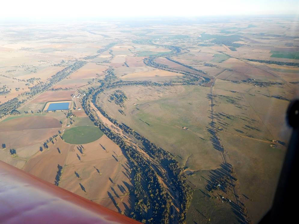
The photo above is the Castlereigh River near Gilgandra. Notice the abundance of water.
Narromine was to be my overnight stop and it proved to be a very good choice. There is a camping ground connected to the airfield which also has “cabins” but when I have attended fly-ins there I have always camped beside the aircraft. This time I opted for a cabin rather than having to dry out a tent in the morning. The cabins are comfortable motel style rooms and mine only cost $77 including a light breakfast of the cereal and toast type. On Friday evenings the aero club does good pub style meals at a reasonable price so I refueled and then wandered back to watch the Friday night football in my warm comfy room while the outside temperature dropped to freezing.
Distance: 183 NM Time: 1.8 hours Fuel used: 35.23 litres
Narromine to Temora
The morning was clear and cold promising a beautiful day. The Sonex was covered in dew and the shaded parts of the wings in ice so I used the opportunity to give it a good clean before doing the daily during which I found that I had a flat main tyre. Damn, must have picked up a burr while taxying on the grass. At least I was prepared. I had a puncture outfit, a spare tube, a pump and of course my trusty quick-lift jack. If you are not carrying one, you should. I spent about 45 minutes changing the tube, some of it trying to find what had caused the puncture. I checked it properly when I arrived home and it was a flaw in the tube which had finally failed after 5 years of use. When I finally got away I could have picked any runway, conditions were ideal. I climbed to 2500 ft and enjoyed the view as the country rolled by, some of it was even green as newly planted crops started growing.
Above photos are the Northparkes copper and gold mine near Parkes.
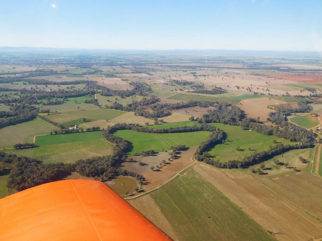
By the time I was approaching Temora the GPS speed was 130 knots and there was a bit of activity at the airfield. I thought I heard one call say “blimp sighted” but that didn’t sound right and saw nothing odd as I joined downwind for runway 36. As I was about to touch down I lost sight of the runway in the sun glare on the windscreen and tested the landing gear yet again. Here’s the “nothing odd” that I didn’t see as I joined the circuit; not a blimp but a hot air balloon.  It’s an air force promotional gimmick, only 20 metres diameter and 28 metres high so you can understand how I missed it.
Distance: 137 NM Time: 1.3 hours Fuel used: 26.1 litres
Temora to Kyneton
This part of the trip continued with smooth conditions at 4500 ft and 130 knots via Yarrawonga and Shepparton cruising just above a sharply defined layer of haze, but at Shepparton I started encountering clouds that went from around 4000 to 5000 ft so decided to climb to 6500 to get well above them. 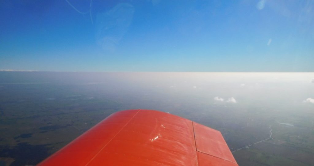 My GPS speed immediately fell to 110 knots and the clouds were piling higher too so that I was eventually forced down to bump along at 3000 ft. Kyneton was busy but I slotted into the downwind leg for 09 and eased in for a smooth landing on the grass strip, and unusually somebody did see that one.
Distance: 228 NM Time: 1.9 hours Fuel used: 39 litres
Summary of the whole trip
Distance: 1862 NM Time: 17.26 hours Fuel used: 337 litres
Average speed: 108 knots Fuel 19.5 litres/hr = 5.15 US gallons/hr
I was surprised to find that the return trip only took 20 minutes more than the trip up despite the headwinds and lower speeds on the home run. One less stop probably saved time on the return flight.
Like last year, I really enjoyed the long flight. I spread the flying out a bit better than last year, The most I did in a day was a bit under 6 hours and the longest leg was only a bit over 2 hours. I also tried to keep everyone better informed about what I was up to which meant phone calls and text messages to both my wife and my sister. To improve comfort I tried out a new seat shape using a carved polystyrene foam cushion that roughly matched my car’s seat shape. Car makers have spent a lot of time and money over the years on seat design and I think they have got it pretty right. The styrene cushion is put behind the existing foam rubber cushion and effectively changes the shape of the seat. I think it would be better with thinner foam rubber but it felt good from the start and my whole trip was comfortable.
